Research / Brightsite
A wider valley
A lake, forested ridges and a village beneath a snowy peak give Brightsite a much larger setting.
- Published
- BrightsiteWorld in development
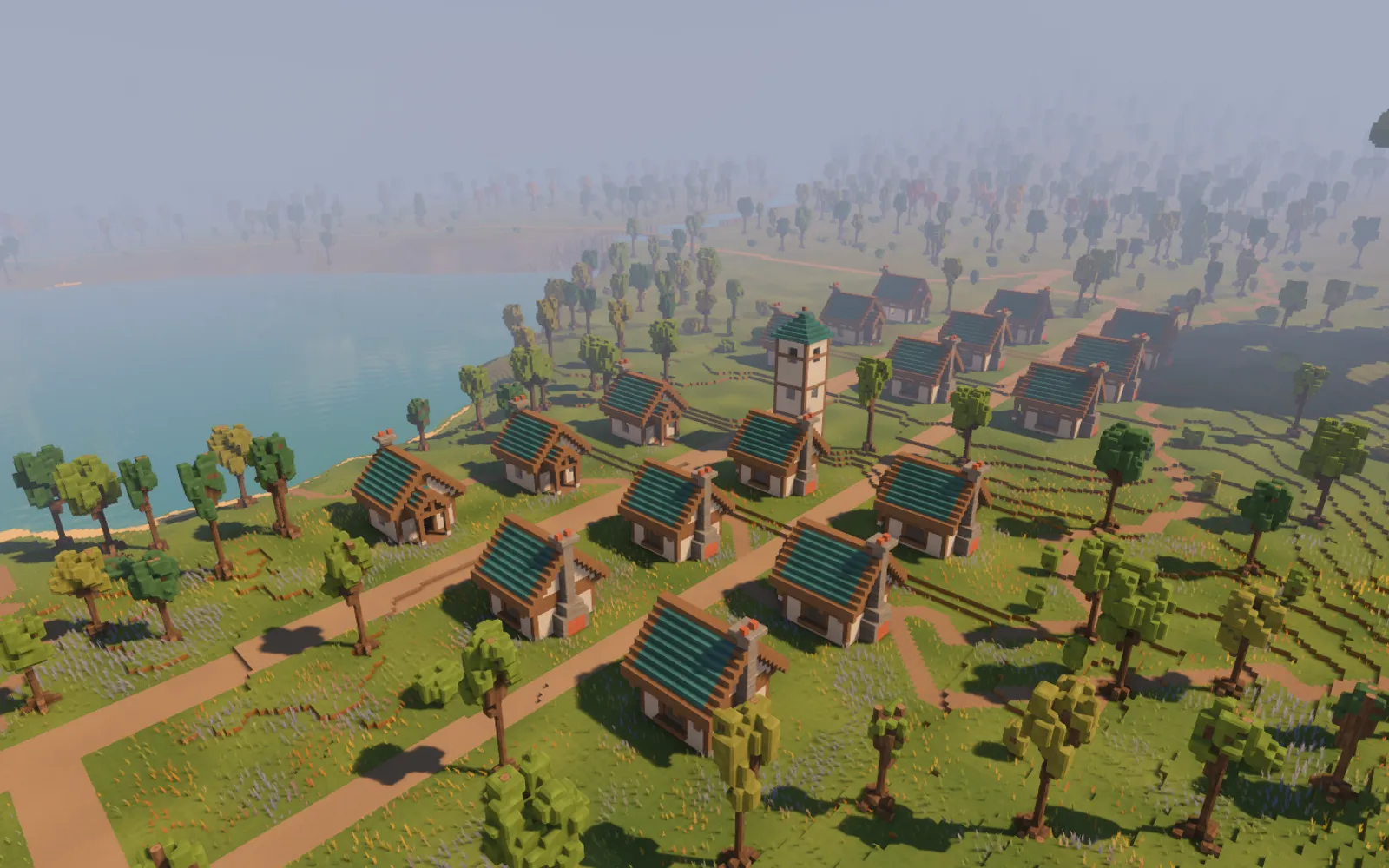
Brightsite opened out today. A long lake winds between wooded slopes, with rocky islands breaking its surface and a snowy peak above the head of the valley. The village now sits within a larger landscape, with paths, water and landmarks giving its surroundings a shape.
This is a generated map about a kilometre and a half across. The work lays out a finite valley: where the ridges rise, where the river runs, and where a village might find room beside the water.
Following the water
The river comes down from the mountain through level reaches and falls, entering a lake with sandy shores and islands. At the other end, water has a route out of the valley.
There is a smaller water feature close to home, too. A spring above the village pours over a rock outcrop into a pool. Its flow is part of the running water simulation, giving a reason to climb the hillside and look back.
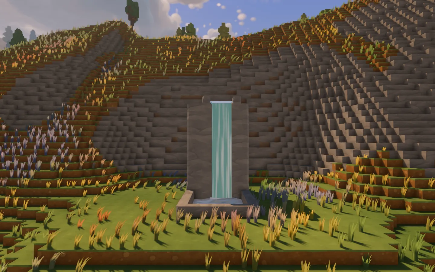
The village spring and its fall, captured from the historical review viewpoint.
The broad view and the nearby water are doing different jobs: one gives the valley its direction, while the other makes a particular corner worth stopping at.
A place beside the lake
The village plan places eighteen cottages along a main street and a back lane, opening into a plaza with a stone tower. The familiar pale walls, timber and green roofs sit together by the lake. The ancient tree has a rise of its own nearby.
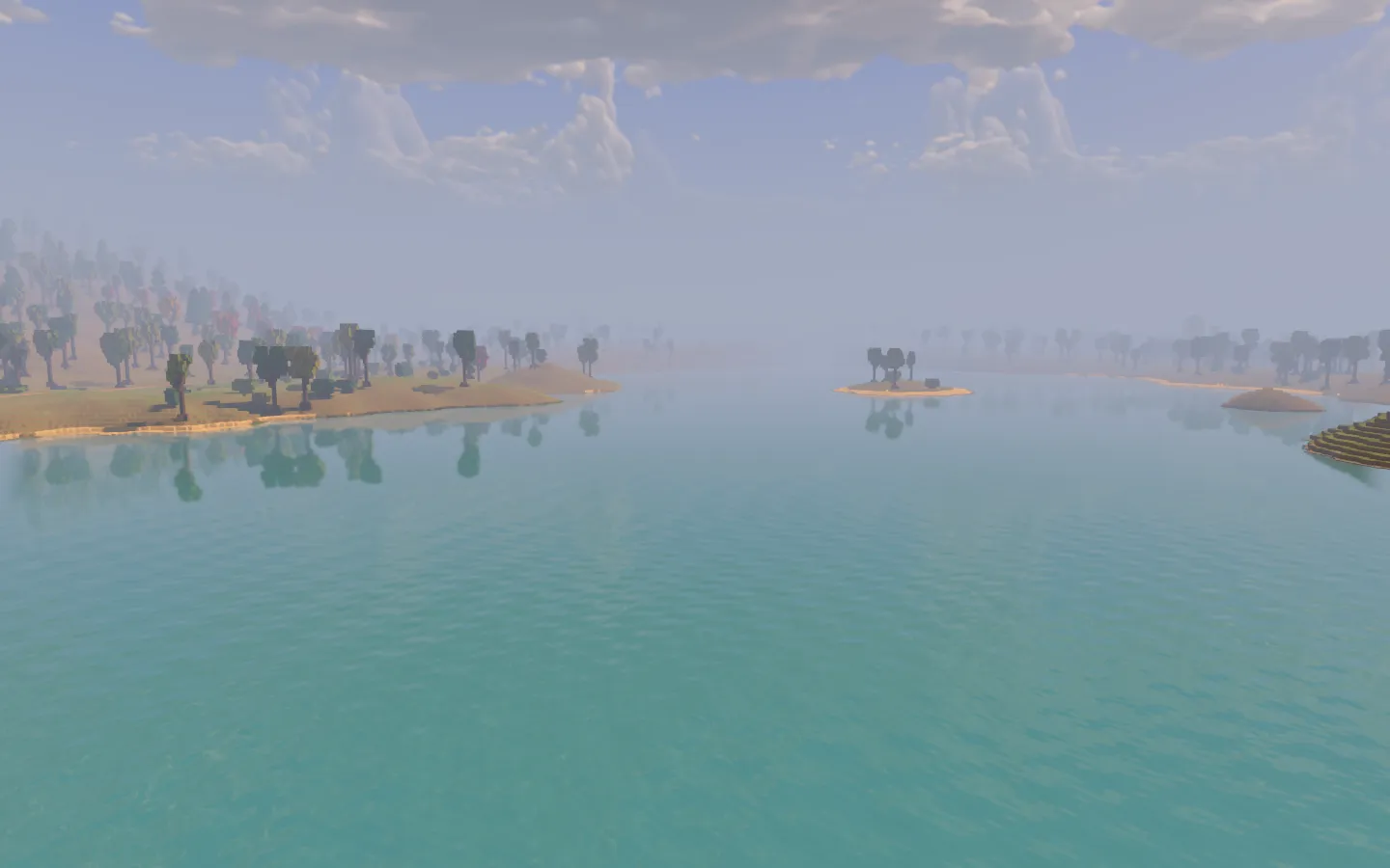
The lake from its southern end, with the distant scenery softened by haze.
The road into town follows the land and crosses the river on a deck. These are authored homes arranged within the generated landscape, still being studied for their spacing, scale and connection to the paths.
There is no working town economy being introduced here. Today’s village is a place to walk through and a setting in which to try the game’s systems.
Keeping the distance in view
The ground returned to half-metre cells after the finer-grid experiment. Close by, the terrain is made of explicit cubes, with the steps and edges that give Brightsite its block-built character.
A separate scenery pass carries the view farther out, with haze helping the distant landscape recede. Loading and handing over between nearby detail and distant scenery became a large part of the day’s work.
The full map layout is larger than the detailed physical area available around the traveller in this checkpoint. Distant ridges are still a rendering study, with the transition, shadows and cost being worked through. For now, the important change is how much more of a world there is to look towards from the shore.
Archive note: these screenshots were captured on October 21 from the unchanged October 14 late-evening checkpoint and its own assets, using the valley’s documented review viewpoints. They show a development map and its scenery system.